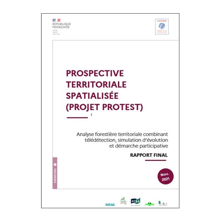
PROTEST : PROspective Territoriale Spatialiée
Analyse forestière territoriale combinant télédétection, simulation d'évolution et démarche participative
Présentation
Le projet PROTEST met en oeuvre une méthode d'analyse territoriale de la ressource forestière combinant plusieurs innovations méthodologiques :
Lire la suite
- cartographie de la ressource forestière par télédétection LiDAR aéroporté,
- simulations d'évolution forestière à l'échelle du territoire,
- prospective territoriale basée sur des démarches participatives.
Caractéristiques
- Date de mise en ligne
- 23/05/2022
- Type de document
- Etude/Recherche
- Nb. de pages
- 51 P
Présentation
Le projet PROTEST met en oeuvre une méthode d'analyse territoriale de la ressource forestière combinant plusieurs innovations méthodologiques :
- cartographie de la ressource forestière par télédétection LiDAR aéroporté,
- simulations d'évolution forestière à l'échelle du territoire,
- prospective territoriale basée sur des démarches participatives.
Caractéristiques
- Auteurs
-
MONNET Jean-Matthieu
AUSSENAC Raphaël
BELLOM Aubéline
CARRETTE Thomas
DE MOROGUES Francis
DURRIEU Sylvie
MUNOZ Alain
RIOND Catherine
SALOMON Caroline
SERGENT Arnaud
THIVOLLE-CAZAT Alain
VALLET Patrick
INRAe
ADEME
- Type de document
-
Etude/Recherche
- Thématique
-
Société et politiques publiques
- Collection
-
Expertises
- Date d'édition
-
11/2021
- Date de mise en ligne
-
23/05/2022
- Nb. de pages
-
51 P
- Langue
-
Français
PROTEST : PROspective Territoriale Spatialiée


